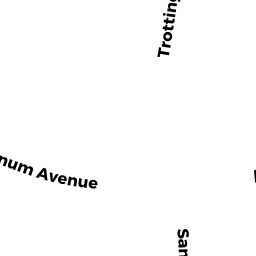
1295 VARNUM AVE
Owner Information
MACKNESS ERNEST F JR
1295 VARNUM AVE
LOWELL, MA 01854 1005


Property Details
1295 VARNUM AVE is classified as a Single Family Residential (Colonial).
The primary structure on this property was built in 1985. There are 3,815ft2 of built area within this property. There is 2,538ft2 of residential/living space within this property.
1295 VARNUM AVE is valued at $419,700. The land is valued at $127,200 and the structures are valued at $290,100. There is an additional valuation of $2,400 on this property.
This property is in Zone SSF. Confirm with local Zoning Board authorities to ensure there are no overlays or other easements on this property.
The most recent deed for 1295 VARNUM AVE is recorded at the local registrar in Book 3008, Page 0179. 1295 VARNUM AVE was last sold on Tuesday, April 16, 1985 for $1.
Assessment data from fiscal year 2021.
Flood Data
According to the FEMA National Flood Hazard Layer, this property does not appear to be in a flood zone. It may also be in an area not yet reviewed. Nonetheless, confirm this information prior to taking any action.
To view the flood hazards around this property, create a FEMA "Firmette" Map of the area around 1295 VARNUM AVE.
Broadband Internet Providers
| Provider | Type | Bandwidth (mbps) | |
|---|---|---|---|
| T-Mobile | Fixed Wireless | 25 | 3 |
| GCI Communication Corp. | Satellite | 0 | 0 |
| Viasat Inc | Satellite | 100 | 3 |
| VSAT Systems, LLC. | Satellite | 2 | 1 |
| HughesNet | Satellite | 25 | 3 |
| Comcast | Cable | 1000 | 35 |
| Verizon New England Inc. | DSL | 5 | 0 |
Broadband service provider data from December 2020.
Adjacent Properties
- 1291 VARNUM AVE
Single Family Residential owned by MACKNESS ERNEST F - 26 ELENE ST
Accessory Land with Improvement owned by MACKNESS ERNEST F - 32 ELENE ST
Single Family Residential owned by MANIATAKOS JOHN J - 46 ELENE ST
Single Family Residential owned by BAHOU WILLIAM F - 56 ELENE ST
Single Family Residential owned by TRS DAVID T TOBIN IRREVOCABLE TRUST - 1301 VARNUM AVE
Single Family Residential owned by REAULT MICHAEL J